
辽河街道 topographic map
Interactive map
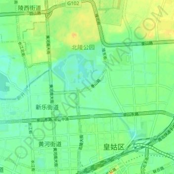
Click on the map to display elevation.
About this map
Name: 辽河街道 topographic map, elevation, terrain.
Location: 辽河街道, 皇姑区, 沈阳市, 辽宁省, 110847, 中国 (41.81514 123.41169 41.86086 123.44401)
Average elevation: 53 m
Minimum elevation: 43 m
Maximum elevation: 66 m
Other topographic maps
Click on a map to view its topography, its elevation and its terrain.