
Thank you for supporting this site ❤️
Make a donation
Make a donation
Gear up for your next adventure:
As an Amazon Associate, this site earns from qualifying purchases at no extra cost to you.
Korr topographic map
Click on the map to display elevation.
Thank you for supporting this site ❤️
Make a donation
Make a donation
Gear up for your next adventure:
As an Amazon Associate, this site earns from qualifying purchases at no extra cost to you.
About this map
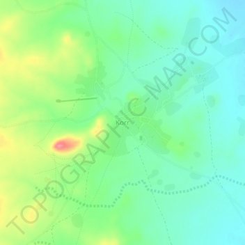
Name: Korr topographic map, elevation, terrain.
Location: Korr, Korr/Ngurunit ward, Marsabit County, Eastern, Kenya (1.98395 37.47964 2.02395 37.51964)
Average elevation: 552 m
Minimum elevation: 522 m
Maximum elevation: 614 m
Thank you for supporting this site ❤️
Make a donation
Make a donation
Gear up for your next adventure:
As an Amazon Associate, this site earns from qualifying purchases at no extra cost to you.