
Make a donation
Gear up for your next adventure:
As an Amazon Associate, this site earns from qualifying purchases at no extra cost to you.
Cashion Community topographic map
Click on the map to display elevation.
Make a donation
Gear up for your next adventure:
As an Amazon Associate, this site earns from qualifying purchases at no extra cost to you.
Cashion Community
Cashion Community is located eight miles north of Wichita Falls off State Highway 240 in northeastern Wichita County. Its elevation is 994 feet above mean sea level. The city has a total area of 1.9 square miles (4.9 km2), all land.
Make a donation
Gear up for your next adventure:
As an Amazon Associate, this site earns from qualifying purchases at no extra cost to you.
About this map
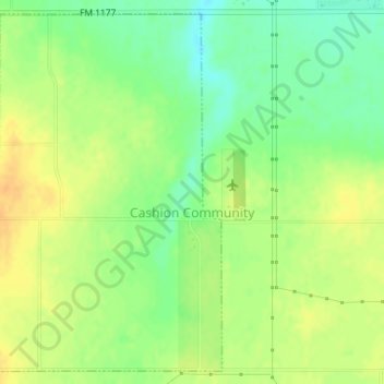
Name: Cashion Community topographic map, elevation, terrain.
Location: Cashion Community, Wichita County, Texas, United States (34.02446 -98.51904 34.04964 -98.49752)
Average elevation: 310 m
Minimum elevation: 293 m
Maximum elevation: 325 m
Make a donation
Gear up for your next adventure:
As an Amazon Associate, this site earns from qualifying purchases at no extra cost to you.
Other topographic maps
Click on a map to view its topography, its elevation and its terrain.