
Thank you for supporting this site ❤️
Make a donation
Make a donation
Gear up for your next adventure:
As an Amazon Associate, this site earns from qualifying purchases at no extra cost to you.
Nadoti topographic map
Click on the map to display elevation.
Thank you for supporting this site ❤️
Make a donation
Make a donation
Gear up for your next adventure:
As an Amazon Associate, this site earns from qualifying purchases at no extra cost to you.
About this map
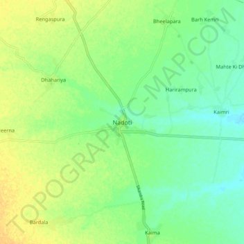
Name: Nadoti topographic map, elevation, terrain.
Location: Nadoti, Nadoti Tehsil, Gangapur City, Rajasthan, 322215, India (26.66827 76.67742 26.74827 76.75742)
Average elevation: 247 m
Minimum elevation: 235 m
Maximum elevation: 259 m
Thank you for supporting this site ❤️
Make a donation
Make a donation
Gear up for your next adventure:
As an Amazon Associate, this site earns from qualifying purchases at no extra cost to you.