Geolocate

Portal topographic map

Click on the map to display elevation.

About this map

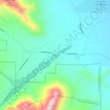
Name: Portal topographic map, elevation, terrain.

Location: Portal, Cochise County, Arizona, United States (31.89359 -109.16143 31.93359 -109.12143)

Average elevation: 1,523 m

Minimum elevation: 1,386 m

Maximum elevation: 2,006 m

Gear up for your next adventure:

🎒Surveyor High-Vis Vests - Multi-pocket safety vests for field professionals
🌂Windproof Trekking Umbrellas - Protection during vertical Irish rain
🍖High-Protein Trail Snacks - Lightweight fuel for long distance treks
📦Outdoor Storage Bags - Keep gear organized and dry
🚶‍♂️Trekking Poles - Supportive poles for stability on varied terrain

As an Amazon Associate, this site earns from qualifying purchases at no extra cost to you.