
南溪河 topographic map
Interactive map
Click on the map to display elevation.
About this map
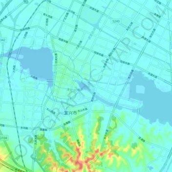
Name: 南溪河 topographic map, elevation, terrain.
Location: 南溪河, 宜兴市, 无锡市, 宜兴市, 江苏省, 214200, 中国 (31.34557 119.78235 31.37822 119.87702)
Average elevation: 9 m
Minimum elevation: -6 m
Maximum elevation: 62 m
Other topographic maps
Click on a map to view its topography, its elevation and its terrain.