
Thank you for supporting this site ❤️
Make a donation
Make a donation
Gear up for your next adventure:
As an Amazon Associate, this site earns from qualifying purchases at no extra cost to you.
Mutton topographic map
Click on the map to display elevation.
Thank you for supporting this site ❤️
Make a donation
Make a donation
Gear up for your next adventure:
As an Amazon Associate, this site earns from qualifying purchases at no extra cost to you.
About this map
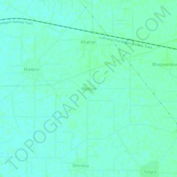
Name: Mutton topographic map, elevation, terrain.
Location: Mutton, Samrala Tahsil, Ludhiana, Punjab, 141124, India (30.79882 76.11931 30.83882 76.15931)
Average elevation: 265 m
Minimum elevation: 261 m
Maximum elevation: 268 m
Thank you for supporting this site ❤️
Make a donation
Make a donation
Gear up for your next adventure:
As an Amazon Associate, this site earns from qualifying purchases at no extra cost to you.