
Treptower Park topographic map
Interactive map
Click on the map to display elevation.
About this map
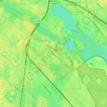
Name: Treptower Park topographic map, elevation, terrain.
Location: Treptower Park, Alt-Treptow, Berlin, 12435, Germany (52.48155 13.46008 52.49516 13.48183)
Average elevation: 37 m
Minimum elevation: 22 m
Maximum elevation: 46 m
Other topographic maps
Click on a map to view its topography, its elevation and its terrain.