
Adamstown topographic map
Interactive map
Click on the map to display elevation.
About this map
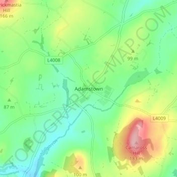
Name: Adamstown topographic map, elevation, terrain.
Location: Adamstown, County Wexford, Leinster, Y21 H972, Ireland (52.37338 -6.73872 52.41338 -6.69872)
Average elevation: 84 m
Minimum elevation: 37 m
Maximum elevation: 174 m