
Ivins topographic map
Interactive map
Click on the map to display elevation.
About this map
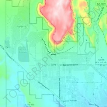
Name: Ivins topographic map, elevation, terrain.
Average elevation: 1,007 m
Minimum elevation: 866 m
Maximum elevation: 1,497 m
Other topographic maps
Click on a map to view its topography, its elevation and its terrain.
Pintura
Stati Uniti d'America > Utah > Washington County
Pintura, Washington County, Utah, Stati Uniti d'America
Average elevation: 1,382 m