
Luwunga topographic map
Interactive map
Click on the map to display elevation.
About this map
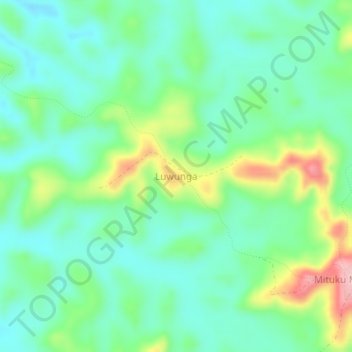
Name: Luwunga topographic map, elevation, terrain.
Location: Luwunga, Kwilu, Democratic Republic of the Congo (-4.77086 18.93281 -4.73086 18.97281)
Average elevation: 449 m
Minimum elevation: 399 m
Maximum elevation: 571 m