
Bourtange topographic map
Interactive map
Click on the map to display elevation.
About this map
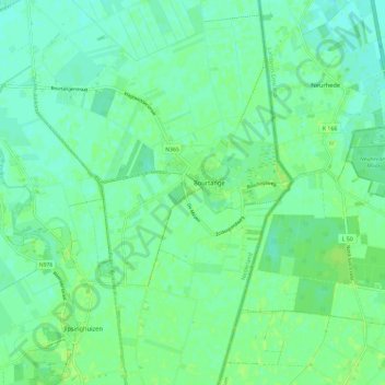
Name: Bourtange topographic map, elevation, terrain.
Location: Bourtange, Westerwolde, Groningen, Niederlande (52.96968 7.15293 53.04014 7.21745)
Average elevation: 5 m
Minimum elevation: 0 m
Maximum elevation: 10 m