
Dársena F topographic map
Interactive map
Click on the map to display elevation.
About this map
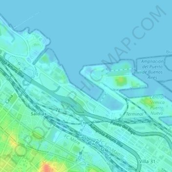
Name: Dársena F topographic map, elevation, terrain.
Location: Dársena F, Vicente López, Argentina (-34.57483 -58.39296 -34.57023 -58.38665)
Average elevation: 5 m
Minimum elevation: -3 m
Maximum elevation: 42 m