
Viersel topographic map
Interactive map
Click on the map to display elevation.
About this map
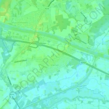
Name: Viersel topographic map, elevation, terrain.
Location: Viersel, Zandhoven, Antwerpen, België (51.17511 4.62677 51.20518 4.67100)
Average elevation: 7 m
Minimum elevation: 1 m
Maximum elevation: 13 m