
Dome Rock topographic map
Interactive map
Click on the map to display elevation.
About this map
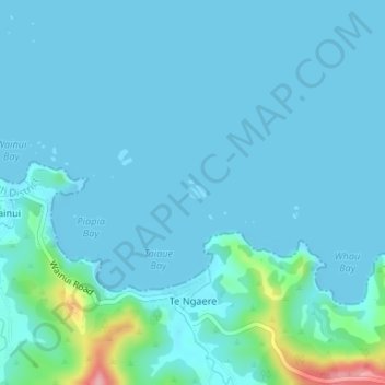
Name: Dome Rock topographic map, elevation, terrain.
Location: Dome Rock, Northland, New Zealand (-35.01494 173.86998 -35.01409 173.87112)
Average elevation: 14 m
Minimum elevation: 0 m
Maximum elevation: 139 m
Other topographic maps
Click on a map to view its topography, its elevation and its terrain.