
Make a donation
Gear up for your next adventure:
As an Amazon Associate, this site earns from qualifying purchases at no extra cost to you.
North Pole Knob topographic map
Click on the map to display elevation.
Make a donation
Gear up for your next adventure:
As an Amazon Associate, this site earns from qualifying purchases at no extra cost to you.
About this map
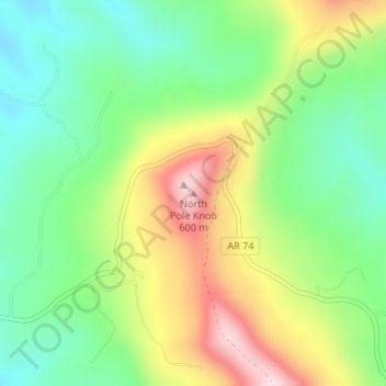
Name: North Pole Knob topographic map, elevation, terrain.
Location: North Pole Knob, Newton County, Arkansas, United States (35.93558 -93.03356 35.93568 -93.03346)
Average elevation: 412 m
Minimum elevation: 271 m
Maximum elevation: 632 m
Make a donation
Gear up for your next adventure:
As an Amazon Associate, this site earns from qualifying purchases at no extra cost to you.
Other topographic maps
Click on a map to view its topography, its elevation and its terrain.
Buffalo National River
United States > Arkansas > Newton County
Along the upper river, the gradient is steep and the water is fast, leveling and slowing as the river runs its course. The upper section has most of the whitewater rapids to be found along the river, and features dramatic karst topography including sink holes and caves, springs, and waterfalls, over 500-foot…
Average elevation: 444 m
Make a donation
Gear up for your next adventure:
As an Amazon Associate, this site earns from qualifying purchases at no extra cost to you.