
Oudega topographic map
Interactive map
Click on the map to display elevation.
About this map
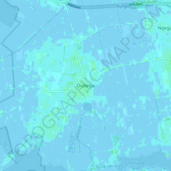
Name: Oudega topographic map, elevation, terrain.
Location: Oudega, Friesland, Nederland, 9216, Nederland (53.10645 5.98045 53.14645 6.02045)
Average elevation: 0 m
Minimum elevation: -4 m
Maximum elevation: 6 m