
Los Naranjos topographic map
Interactive map
Click on the map to display elevation.
About this map
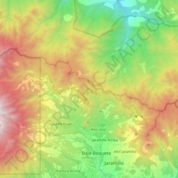
Name: Los Naranjos topographic map, elevation, terrain.
Location: Los Naranjos, Distrito Boquete, Panama (8.78632 -82.54294 8.88699 -82.37168)
Average elevation: 1,646 m
Minimum elevation: 548 m
Maximum elevation: 3,148 m