
卡竹村 topographic map
Interactive map
Click on the map to display elevation.
About this map
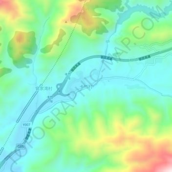
Name: 卡竹村 topographic map, elevation, terrain.
Location: 卡竹村, 会泽县, 曲靖市, 云南省, 中国 (25.90069 103.39948 25.94069 103.43948)
Average elevation: 2,132 m
Minimum elevation: 1,971 m
Maximum elevation: 2,562 m
Other topographic maps
Click on a map to view its topography, its elevation and its terrain.