
L Abbaye topographic map
Interactive map
Click on the map to display elevation.
About this map
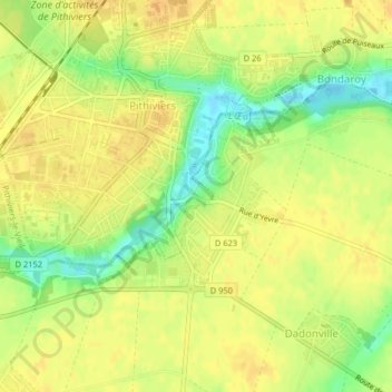
Name: L Abbaye topographic map, elevation, terrain.
Average elevation: 118 m
Minimum elevation: 98 m
Maximum elevation: 127 m
Other topographic maps
Click on a map to view its topography, its elevation and its terrain.
L Hopital
France > Centre-Val de Loire > Pithiviers
L Hopital, Pithiviers, Loiret, Centre-Val de Loire, France métropolitaine, 45300, France
Average elevation: 119 m