
Thank you for supporting this site ❤️
Make a donation
Make a donation
Gear up for your next adventure:
As an Amazon Associate, this site earns from qualifying purchases at no extra cost to you.
Hosea topographic map
Click on the map to display elevation.
Thank you for supporting this site ❤️
Make a donation
Make a donation
Gear up for your next adventure:
As an Amazon Associate, this site earns from qualifying purchases at no extra cost to you.
About this map
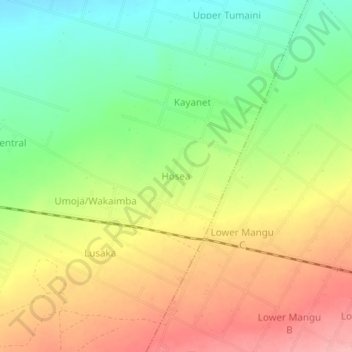
Name: Hosea topographic map, elevation, terrain.
Location: Hosea, Visoi ward, Rongai, Nakuru, Rift Valley, Kenya (-0.21370 35.91210 -0.17370 35.95210)
Average elevation: 1,921 m
Minimum elevation: 1,863 m
Maximum elevation: 1,982 m
Thank you for supporting this site ❤️
Make a donation
Make a donation
Gear up for your next adventure:
As an Amazon Associate, this site earns from qualifying purchases at no extra cost to you.