
Vondelpark topographic map
Interactive map
Click on the map to display elevation.
About this map
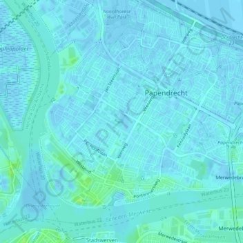
Name: Vondelpark topographic map, elevation, terrain.
Location: Vondelpark, Papendrecht, Zuid-Holland, Nederland (51.83033 4.68061 51.83300 4.68820)
Average elevation: 2 m
Minimum elevation: -3 m
Maximum elevation: 10 m
Other topographic maps
Click on a map to view its topography, its elevation and its terrain.
Papendrecht
Nederland > Zuid-Holland > Papendrecht
Papendrecht, Zuid-Holland, Nederland
Average elevation: 2 m
Ketelhaven
Nederland > Zuid-Holland > Papendrecht
Ketelhaven, Papendrecht, Zuid-Holland, Nederland, 3356 LE, Nederland
Average elevation: 3 m
Ketelhaven
Nederland > Zuid-Holland > Papendrecht
Ketelhaven, Papendrecht, Zuid-Holland, Nederland, 3356 LE, Nederland
Average elevation: 3 m