
Ossa de Montiel topographic map
Interactive map
Click on the map to display elevation.
About this map
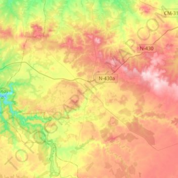
Name: Ossa de Montiel topographic map, elevation, terrain.
Location: Ossa de Montiel, Albacete, Castilla-La Mancha, 02611, España (38.86749 -2.88192 39.06352 -2.66645)
Average elevation: 925 m
Minimum elevation: 791 m
Maximum elevation: 1,052 m