
Pont-de-Montvert-Sud-Mont-Lozère topographic map
Interactive map
Click on the map to display elevation.
About this map
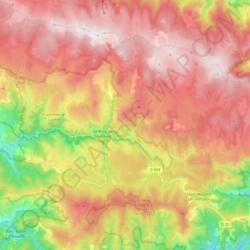
Name: Pont-de-Montvert-Sud-Mont-Lozère topographic map, elevation, terrain.
Average elevation: 1,203 m
Minimum elevation: 534 m
Maximum elevation: 1,702 m