
Wad Madanī topographic map
Interactive map
Click on the map to display elevation.
About this map
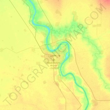
Name: Wad Madanī topographic map, elevation, terrain.
Location: Wad Madanī, Gezira State, Sudan (14.23658 33.37096 14.55658 33.69096)
Average elevation: 410 m
Minimum elevation: 389 m
Maximum elevation: 426 m