
Stein am Rhein topographic map
Interactive map
Click on the map to display elevation.
About this map
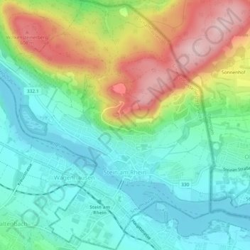
Name: Stein am Rhein topographic map, elevation, terrain.
Location: Stein am Rhein, Schaffhausen, 8260, Switzerland (47.65008 8.83684 47.68103 8.87615)
Average elevation: 474 m
Minimum elevation: 390 m
Maximum elevation: 636 m