
Forney topographic map
Interactive map
Click on the map to display elevation.
About this map
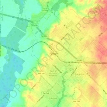
Name: Forney topographic map, elevation, terrain.
Location: Forney, Kaufman County, Texas, 75126, United States (32.70789 -96.51193 32.78789 -96.43193)
Average elevation: 136 m
Minimum elevation: 108 m
Maximum elevation: 169 m