
Tengchong City topographic map
Interactive map
Click on the map to display elevation.
About this map
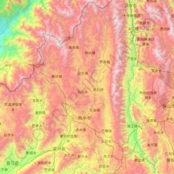
Name: Tengchong City topographic map, elevation, terrain.
Location: Tengchong City, Baoshan, Yunnan, 679100, China (24.62636 98.08895 25.85988 98.77383)
Average elevation: 1,830 m
Minimum elevation: 174 m
Maximum elevation: 3,717 m
Other topographic maps
Click on a map to view its topography, its elevation and its terrain.