Geolocate

Luddesdown topographic map

Click on the map to display elevation.

About this map

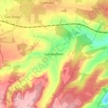
Name: Luddesdown topographic map, elevation, terrain.

Location: Luddesdown, Gravesham, Kent, England, DA13 0XE, United Kingdom (51.35241 0.38221 51.39241 0.42221)

Average elevation: 96 m

Minimum elevation: 1 m

Maximum elevation: 164 m

Gear up for your next adventure:

🪢Paracord & Ropes - Strong ropes for camping and gear
⛷️Mountain Sports Accessories - Gear for high intensity outdoor sports
🚰Hydration Packs - Hands‑free water storage for hikers
🧯Compact Fire Extinguishers - Safety for campervans and expedition vehicles
🔋Lithium Batteries - Best performance for digital devices in cold weather

As an Amazon Associate, this site earns from qualifying purchases at no extra cost to you.