Westoe Dam topographic map
Interactive map
Click on the map to display elevation.
About this map
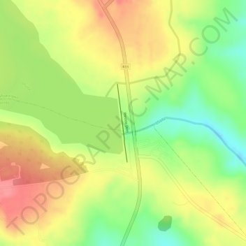
Name: Westoe Dam topographic map, elevation, terrain.
Average elevation: 1,552 m
Minimum elevation: 1,503 m
Maximum elevation: 1,590 m

Click on the map to display elevation.
Name: Westoe Dam topographic map, elevation, terrain.
Average elevation: 1,552 m
Minimum elevation: 1,503 m
Maximum elevation: 1,590 m