
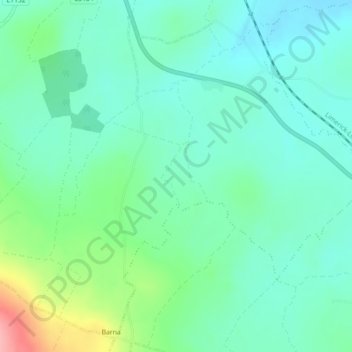
Ballyshoneen topographic map
Interactive map
Click on the map to display elevation.
About this map
Name: Ballyshoneen topographic map, elevation, terrain.
Average elevation: 79 m
Minimum elevation: 48 m
Maximum elevation: 170 m
County Limerick trails, hiking, mountain biking, running and outdoor activities
Other topographic maps
Click on a map to view its topography, its elevation and its terrain.
Ardpatrick
Ireland > County Limerick > The Municipal District of Cappamore — Kilmallock
Average elevation: 169 m
Knockadea
Ireland > County Limerick > The Municipal District of Cappamore — Kilmallock
Average elevation: 203 m
Pallasgreen
Ireland > County Limerick > The Municipal District of Cappamore — Kilmallock
Average elevation: 71 m
Kilcruaig
Ireland > County Limerick > The Municipal District of Cappamore — Kilmallock
Average elevation: 200 m
Clare Glens
Ireland > County Limerick > The Municipal District of Cappamore — Kilmallock
Average elevation: 124 m
Knockainy
Ireland > County Limerick > The Municipal District of Cappamore — Kilmallock > Knockainy
Average elevation: 86 m