
Henderson Hill topographic map
Interactive map
Click on the map to display elevation.
About this map
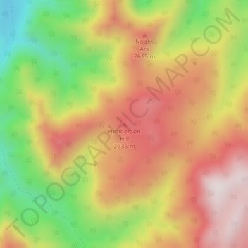
Name: Henderson Hill topographic map, elevation, terrain.
Location: Henderson Hill, Iron County, Utah, Stati Uniti d'America (37.77104 -112.78805 37.77114 -112.78795)
Average elevation: 2,472 m
Minimum elevation: 2,109 m
Maximum elevation: 2,774 m