
Mount Rainier topographic map
Interactive map
Click on the map to display elevation.
About this map
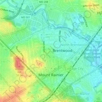
Name: Mount Rainier topographic map, elevation, terrain.
Location: Mount Rainier, Prince George's County, Maryland, 20712, USA (38.93159 -76.97414 38.95404 -76.95570)
Average elevation: 22 m
Minimum elevation: 2 m
Maximum elevation: 55 m