
二郎街道 topographic map
Interactive map
Click on the map to display elevation.
About this map
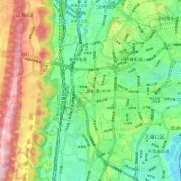
Name: 二郎街道 topographic map, elevation, terrain.
Location: 二郎街道, 九龙坡区, 重庆市主城都市区, 重庆市, 中国 (29.46645 106.40571 29.54645 106.48571)
Average elevation: 367 m
Minimum elevation: 197 m
Maximum elevation: 667 m
Other topographic maps
Click on a map to view its topography, its elevation and its terrain.