
Thank you for supporting this site ❤️
Make a donation
Make a donation
Gear up for your next adventure:
As an Amazon Associate, this site earns from qualifying purchases at no extra cost to you.
Moktowa topographic map
Click on the map to display elevation.
Thank you for supporting this site ❤️
Make a donation
Make a donation
Gear up for your next adventure:
As an Amazon Associate, this site earns from qualifying purchases at no extra cost to you.
About this map
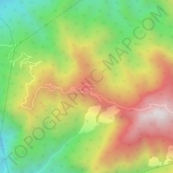
Name: Moktowa topographic map, elevation, terrain.
Location: Moktowa, Khonsa HQ, Tirap, Arunachal Pradesh, India (26.85612 95.42264 26.89612 95.46264)
Average elevation: 1,238 m
Minimum elevation: 564 m
Maximum elevation: 2,002 m
Thank you for supporting this site ❤️
Make a donation
Make a donation
Gear up for your next adventure:
As an Amazon Associate, this site earns from qualifying purchases at no extra cost to you.