
Măgura topographic map
Interactive map
Click on the map to display elevation.
About this map
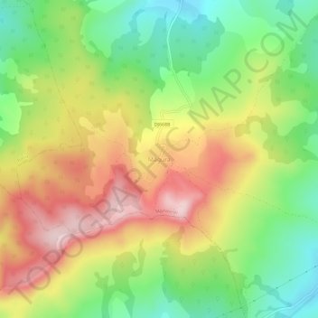
Name: Măgura topographic map, elevation, terrain.
Location: Măgura, Mărtinești, Hunedoara, 337319, Romania (45.75879 23.05684 45.79879 23.09684)
Average elevation: 421 m
Minimum elevation: 276 m
Maximum elevation: 588 m
Other topographic maps
Click on a map to view its topography, its elevation and its terrain.