
Jinsha topographic map
Interactive map
Click on the map to display elevation.
About this map
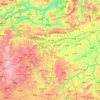
Name: Jinsha topographic map, elevation, terrain.
Location: Jinsha, Bijie, Guizhou, China (27.11730 105.79177 27.75435 106.72327)
Average elevation: 1,146 m
Minimum elevation: 419 m
Maximum elevation: 2,099 m
Other topographic maps
Click on a map to view its topography, its elevation and its terrain.