Geolocate

Mount Victory topographic map

Click on the map to display elevation.

About this map
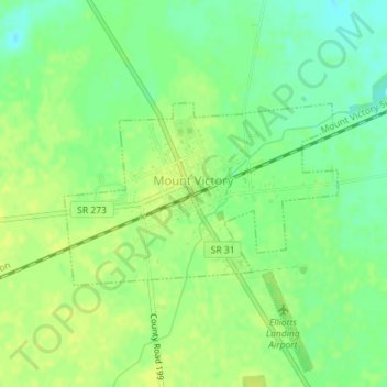
Name: Mount Victory topographic map, elevation, terrain.

Location: Mount Victory, Hale Township, Hardin County, Ohio, United States (40.52717 -83.53237 40.53988 -83.50719)

Average elevation: 317 m

Minimum elevation: 306 m

Maximum elevation: 323 m

Other topographic maps

Click on a map to view its topography, its elevation and its terrain.

Grant

United States > Ohio > Hardin County

Average elevation: 284 m

Gear up for your next adventure:

🧯Portable Extinguishers - Safety tools for campfires
🧢Waterproof Caps - Keep rain off your face and glasses while hiking
📱Phone Holders for Biking - Secure phone mounts for touring cyclists
🎒Day Packs - Perfect packs for day trips
📚Travel Books Ireland - Best travel books for Irish exploration

As an Amazon Associate, this site earns from qualifying purchases at no extra cost to you.