
Great Rift Valley topographic map
Interactive map
Click on the map to display elevation.
About this map
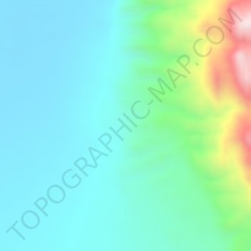
Name: Great Rift Valley topographic map, elevation, terrain.
Location: Great Rift Valley, Borena, Oromia Region, Ethiopia (4.99000 36.99000 5.01000 37.01000)
Average elevation: 631 m
Minimum elevation: 516 m
Maximum elevation: 1,008 m
Other topographic maps
Click on a map to view its topography, its elevation and its terrain.
Ahmar Mountains
Ahmar Mountains, West Harerghe, Oromia Region, Ethiopia
Average elevation: 1,777 m