
Rexville topographic map
Interactive map
Click on the map to display elevation.
About this map
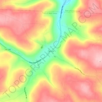
Name: Rexville topographic map, elevation, terrain.
Location: Rexville, Steuben County, New York, 14877, USA (42.06424 -77.68221 42.10424 -77.64221)
Average elevation: 648 m
Minimum elevation: 527 m
Maximum elevation: 725 m