Geolocate

Highlands topographic map

Click on the map to display elevation.

Highlands

Highlands was founded in 1875 after its two founders, Samuel Truman Kelsey and Clinton Carter Hutchinson, drew lines from Chicago to Savannah and from New Orleans to New York City. They felt that the place where these lines met would eventually become a great trading center and commercial crossroads. Highlands was named for its lofty elevation.

About this map

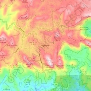
Name: Highlands topographic map, elevation, terrain.

Location: Highlands, Macon County, North Carolina, 28741, United States (35.01259 -83.23682 35.09259 -83.15682)

Average elevation: 1,090 m

Minimum elevation: 767 m

Maximum elevation: 1,360 m

Gear up for your next adventure:

💳Travel Cards for Ireland - Convenient payment abroad
🛰️Handheld GPS Units - Professional satellite navigation for Irish highlands
🪶Down Jackets - Warm jackets for cold outdoor trips
📟Handheld Altimeters - Track elevation changes and weather patterns accurately
🛸Lightweight Camera Drones - Capture stunning aerial topographic views of the landscape

As an Amazon Associate, this site earns from qualifying purchases at no extra cost to you.