
Thank you for supporting this site ❤️
Make a donation
Make a donation
Gear up for your next adventure:
As an Amazon Associate, this site earns from qualifying purchases at no extra cost to you.
Kham topographic map
Click on the map to display elevation.
Thank you for supporting this site ❤️
Make a donation
Make a donation
Gear up for your next adventure:
As an Amazon Associate, this site earns from qualifying purchases at no extra cost to you.
About this map
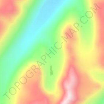
Name: Kham topographic map, elevation, terrain.
Location: Kham, Korqên, Baxoi County, Chamdo City, Tibet, China (30.59166 96.83180 30.61166 96.85180)
Average elevation: 5,109 m
Minimum elevation: 4,839 m
Maximum elevation: 5,406 m
Thank you for supporting this site ❤️
Make a donation
Make a donation
Gear up for your next adventure:
As an Amazon Associate, this site earns from qualifying purchases at no extra cost to you.