
San Martín de Porres topographic map
Interactive map
Click on the map to display elevation.
About this map
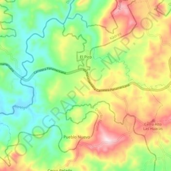
Name: San Martín de Porres topographic map, elevation, terrain.
Location: San Martín de Porres, Distrito Las Palmas, Veraguas, Panamá (8.17056 -81.57456 8.23233 -81.49487)
Average elevation: 245 m
Minimum elevation: 50 m
Maximum elevation: 532 m
Other topographic maps
Click on a map to view its topography, its elevation and its terrain.
San Martín de Porres
Panamá > Veraguas > Distrito Las Palmas > San Martín de Porres
San Martín de Porres, Distrito Las Palmas, Veraguas, Panamá
Average elevation: 221 m