
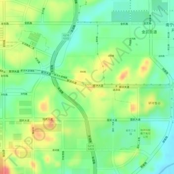
经济技术开发区 topographic map
Interactive map
Click on the map to display elevation.
About this map
Name: 经济技术开发区 topographic map, elevation, terrain.
Location: 经济技术开发区, 江南区, 南宁市, 广西壮族自治区, 中国 (22.75123 108.28556 22.77111 108.30743)
Average elevation: 104 m
Minimum elevation: 72 m
Maximum elevation: 144 m
Other topographic maps
Click on a map to view its topography, its elevation and its terrain.