
Great Abaco topographic map
Interactive map
Click on the map to display elevation.
About this map
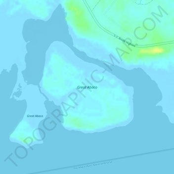
Name: Great Abaco topographic map, elevation, terrain.
Location: Great Abaco, Central Abaco, The Bahamas (26.57395 -77.24386 26.58831 -77.22741)
Average elevation: 2 m
Minimum elevation: -2 m
Maximum elevation: 19 m
Other topographic maps
Click on a map to view its topography, its elevation and its terrain.
Marsh Harbour
Marsh Harbour, Central Abaco, The Bahamas
Average elevation: 2 m