

Atacama Desert topographic map
Click on the map to display elevation.
Atacama Desert
The Coastal Cliff of northern Chile west of the Chilean Coast Range is the main topographical feature of the coast. The geomorphology of the Atacama Desert has been characterized as a low-relief bench "similar to a giant uplifted terrace" by Armijo and co-workers. The intermediate depression (or Central Valley) forms a series of endorheic basins in much of the Atacama Desert south of latitude 19°30'S. North of this latitude, the intermediate depression drains into the Pacific Ocean.
About this map
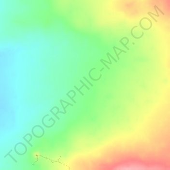
Name: Atacama Desert topographic map, elevation, terrain.
Average elevation: 1,961 m
Minimum elevation: 1,911 m
Maximum elevation: 2,025 m
Other topographic maps
Click on a map to view its topography, its elevation and its terrain.

Parque Nacional Morro Moreno
Chile > Antofagasta Region > Provincia de Antofagasta > Antofagasta
Average elevation: 204 m

Salar de Navidad
Chile > Antofagasta Region > Provincia de Antofagasta > Antofagasta
Average elevation: 697 m