
Heyworth topographic map
Interactive map
Click on the map to display elevation.
About this map
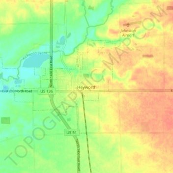
Name: Heyworth topographic map, elevation, terrain.
Location: Heyworth, McLean County, Illinois, United States (40.29778 -89.03538 40.32928 -88.95886)
Average elevation: 227 m
Minimum elevation: 205 m
Maximum elevation: 246 m