
Valenzuela topographic map
Interactive map
Click on the map to display elevation.
About this map
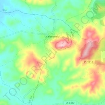
Name: Valenzuela topographic map, elevation, terrain.
Location: Valenzuela, Cordova, Andalusia, Spain (37.73850 -4.27931 37.79406 -4.20658)
Average elevation: 334 m
Minimum elevation: 258 m
Maximum elevation: 480 m