
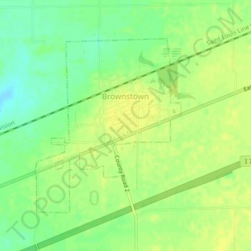
Brownstown topographic map
Interactive map
Click on the map to display elevation.
About this map
Name: Brownstown topographic map, elevation, terrain.
Location: Brownstown, Fayette County, Illinois, 62418, United States (38.98335 -88.96540 39.00209 -88.94507)
Average elevation: 178 m
Minimum elevation: 165 m
Maximum elevation: 185 m