
Sankt Paul im Lavanttal topographic map
Interactive map
Click on the map to display elevation.
About this map
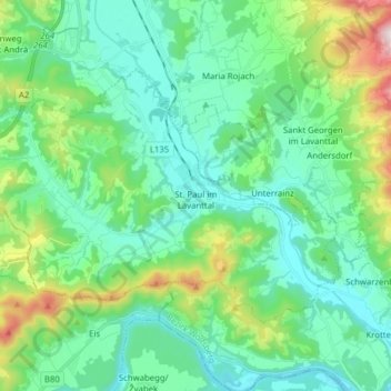
Name: Sankt Paul im Lavanttal topographic map, elevation, terrain.
Average elevation: 507 m
Minimum elevation: 346 m
Maximum elevation: 880 m
Other topographic maps
Click on a map to view its topography, its elevation and its terrain.
Stadling
Österreich > Kärnten > Bezirk Wolfsberg > Sankt Paul im Lavanttal > Stadling
Stadling, Sankt Paul im Lavanttal, Bezirk Wolfsberg, Kärnten, 9470, Österreich
Average elevation: 436 m